St Martin’s is the third largest inhabited island on the
Isles of Scilly, and its three settlements are imaginatively named Higher Town,
Middle Town and Lower Town. The island
houses the Scillies’ only Ordnance Survey triangulation station, and nearby is a
striking red and white striped tower with a conical top known as the Daymark
which, though erected in a relatively recent 1683, is a Scheduled Ancient
Moument. Being the most northerly island
in the archipelago, the Daymark is the first thing passengers crossing from the
mainland catch sight of when approaching the Scillies. In spite of its diminutive size, St Martin’s
manages to find room for a vineyard, the most south-westerly in England. There are tours available in the summer
months. Another popular activity on the
island is the seal snorkelling for those who want to get up close to these
lovable creatures. Other than that,
there is a pub, a fish and chip restaurant and a scattering of accommodation
options, but the main attraction here is the natural beauty and the wonderful
views.
St Agnes includes the southernmost settlement in England, at
Troy Town Farm. A sandbar connects the
island to another island called Gugh, so that at low tide they become one
island, though the sandbar disappears at high tide, cutting off Gugh’s three
residents. St Agnes is the island to
head for if you are a birdwatcher, with over one-third of its area designated a
Site of Special Scientific Interest.
September and October are the busiest birdwatching months, jokingly
referred to as the “Scilly Season”. Many
“firsts” have been spotted, including a number of ‘vagrant’ birds. As for flora, Wingletang Down is the only
place in Britain where the fern type ‘least adder’s-tongue’ can be found. The area is also notable for its ancient
sites: over forty Bronze Age cairns have been found there. For overnighters, there are a small number of
bed and breakfasts, and refreshments available from several outlets including
the island’s only pub.
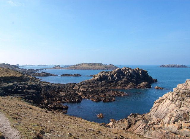
Bryher is the smallest of the inhabited islands in the
Scillies archipelago, but in spite of its size there is a marked contrast
between the wave-battered west coast and the tranquillity of the sheltered side
facing Tresco and of Rushy Bay in the south. The island is also big enough for a hill,
Samson Hill, with its Bronze Age cairns.
Added to which it boasts a bar hailed as one of Britain’s best boozers
by Jamie Oliver, and an award-winning hotel with the misleading name Hell Bay,
which belies the luxurious offerings therein.
The name comes from the adjacent stretch of coastline which has received a battering over the years by waves crashing in from the Atlantic. Bryher has even done a turn on the big screen, being the backdrop for
the film Why The Whales Came, based on a book by regular visitor Michael
Morpurgo.
Live streaming webcam view of Bryher courtesy of the Hell Bay Hotel.

 | |
| Hell Bay, Bryher - geograph.org.uk - 401278. Photo by Ian Davison, via Wikimedia Commons. |
No comments:
Post a Comment